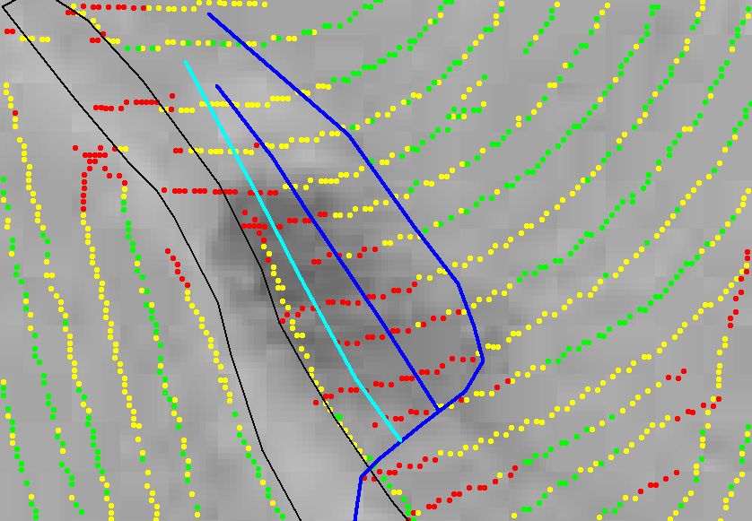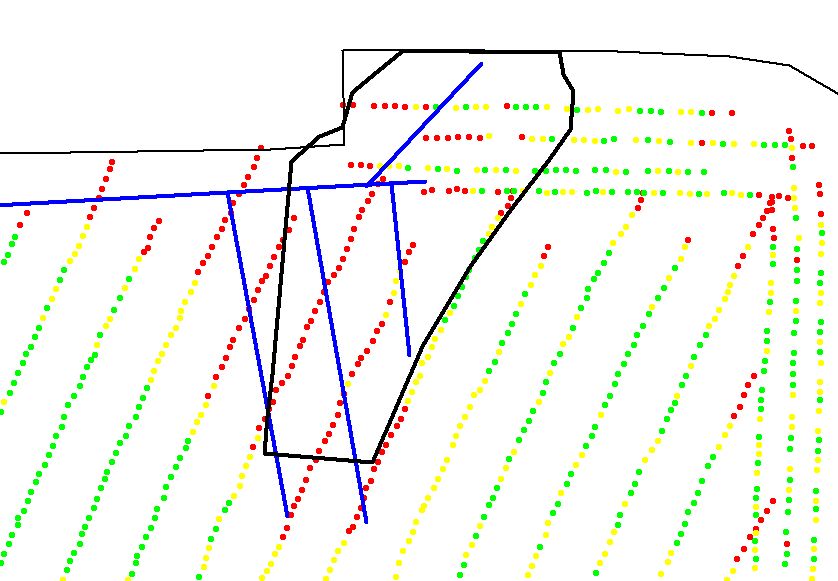
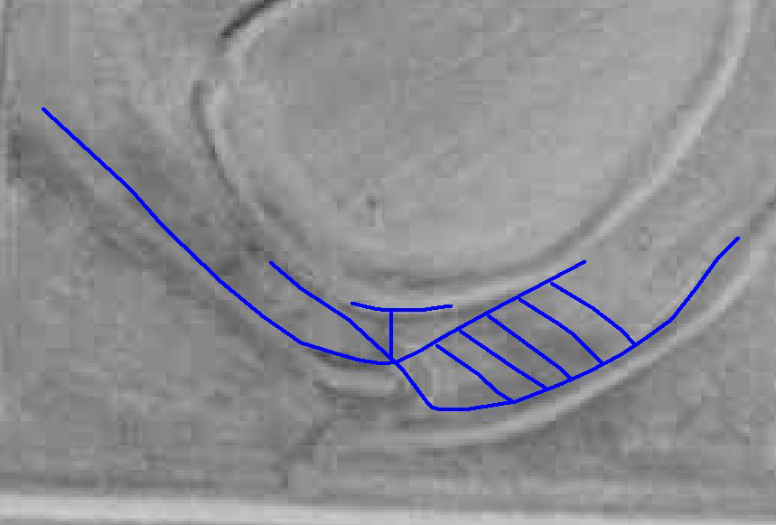
Map that shows yield data, tile lines (blue), and area soil was hauled (black polygon) from the bottom ground.
We first started GPS mapping yield with Microtrak back in 1995...long before John Deere and other farm equipment companies were thinking about the use of GPS and
digital mapping.
This mapping technology has come a long way since the early days of Microtrak but even with the early
and sometimes erratic data, we were able to determine areas of each field that needed attention for various aspects of yield and crop production improvements.
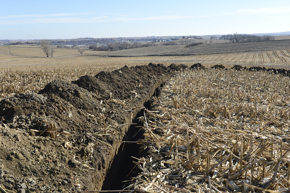
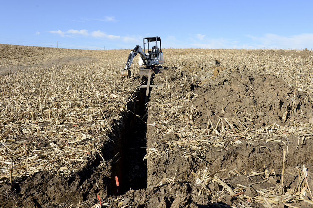
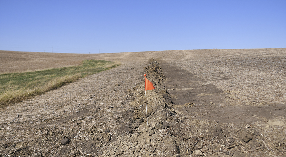
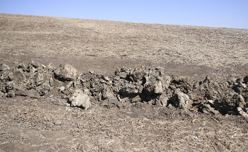
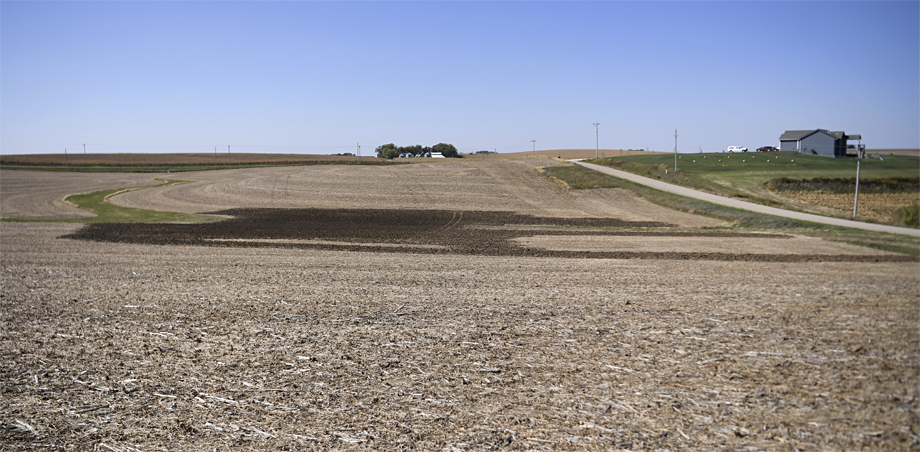
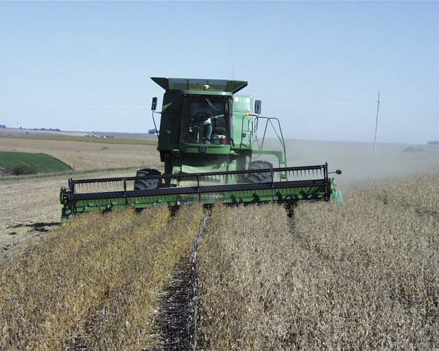
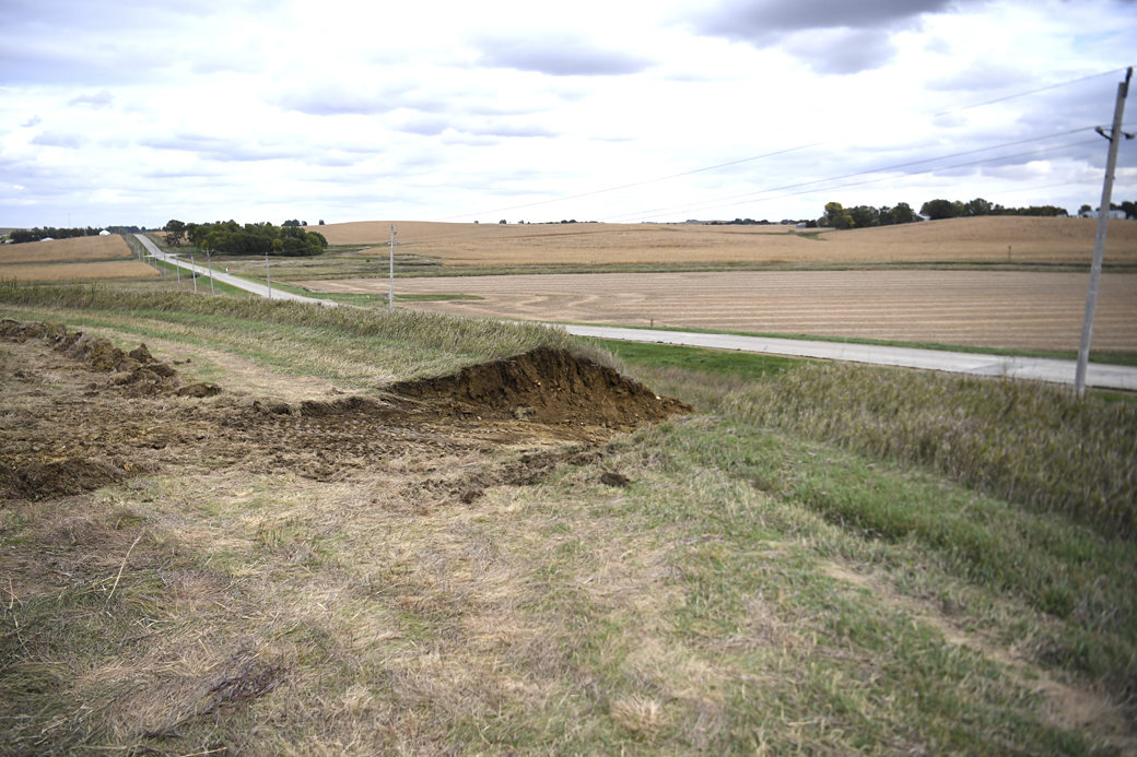
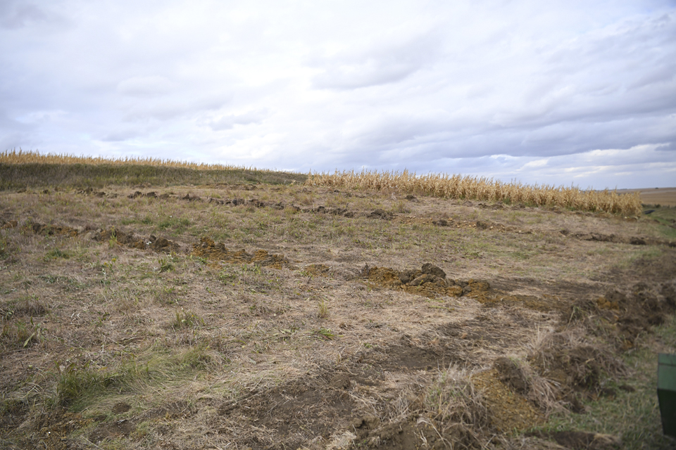
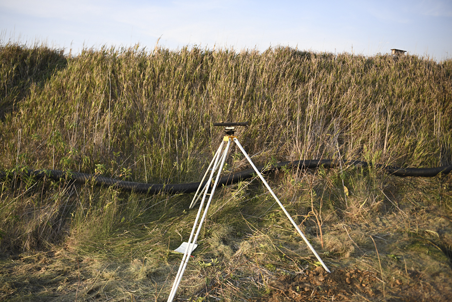
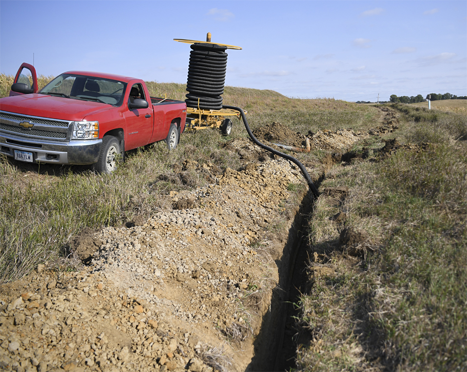
The blue lines are the tile I trenched in during the fall of 2017 and the black polygon is the area I hauled soil this fall.
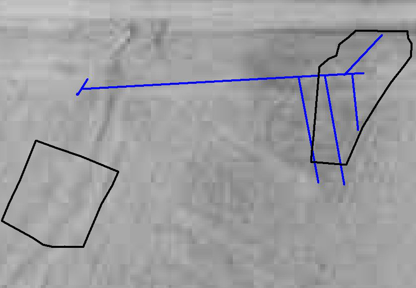
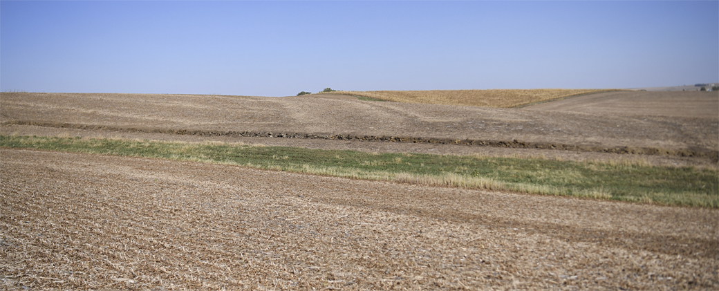
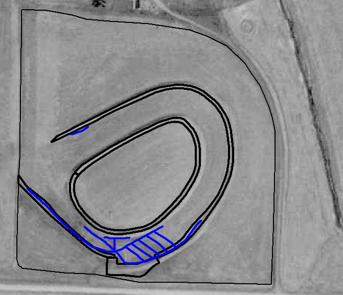
1990 aerial map overlaid by the tile lines and area I hauled soil from the bottom.
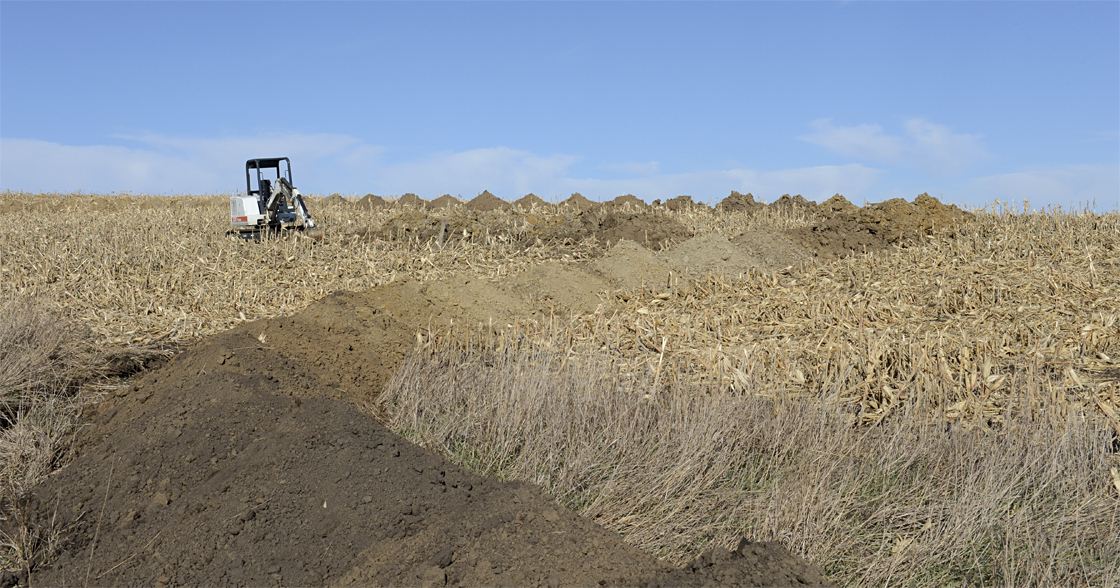
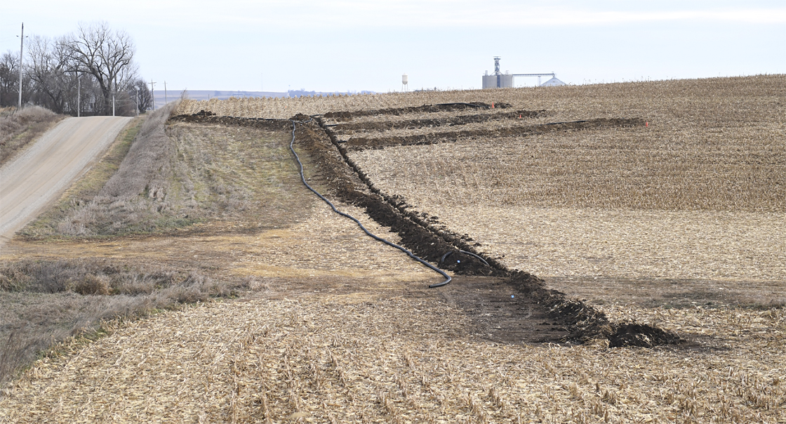
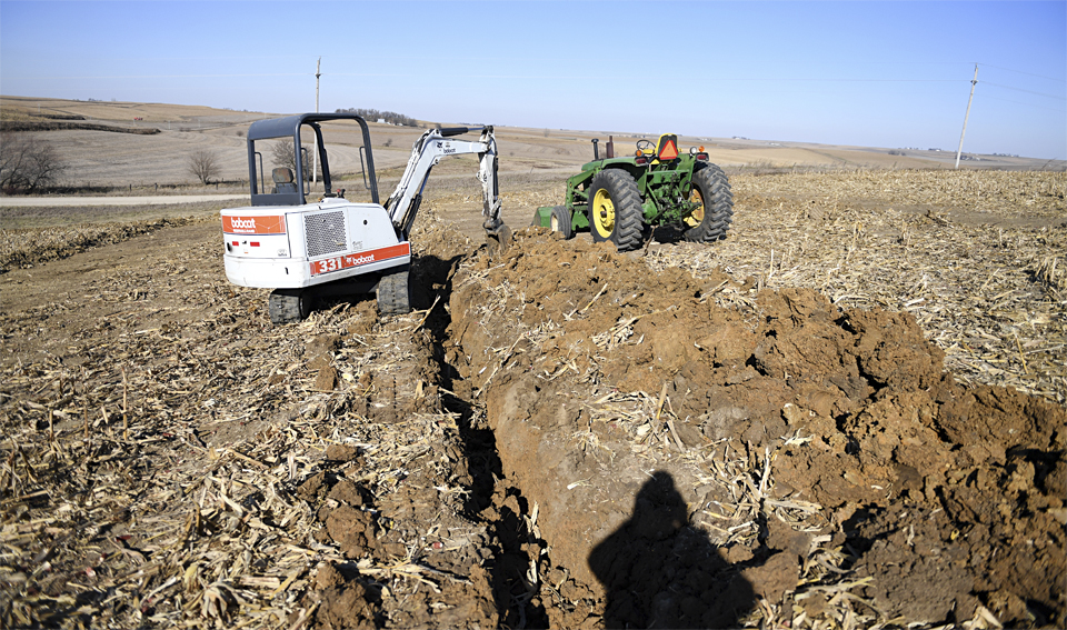
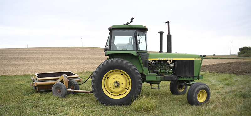
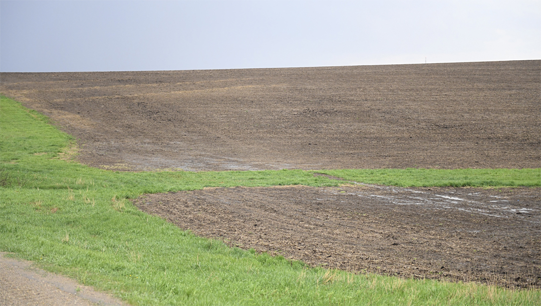
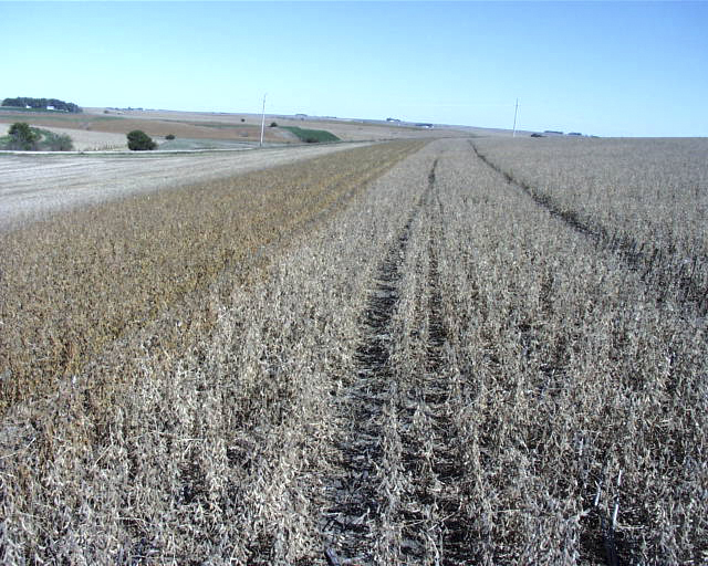
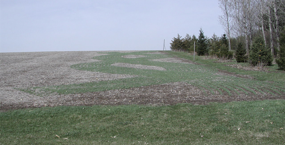
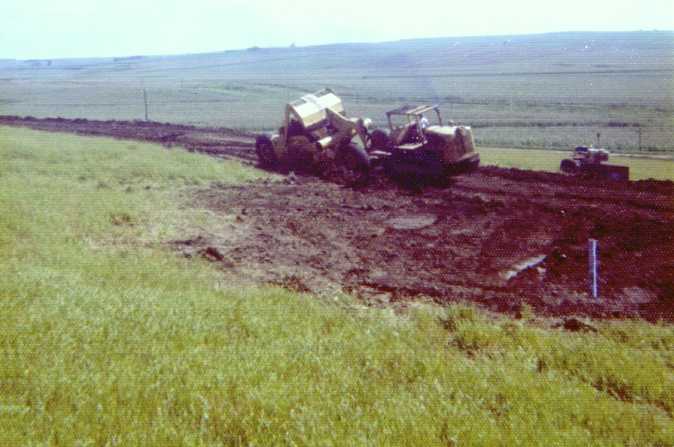
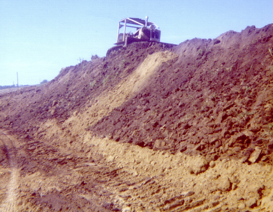
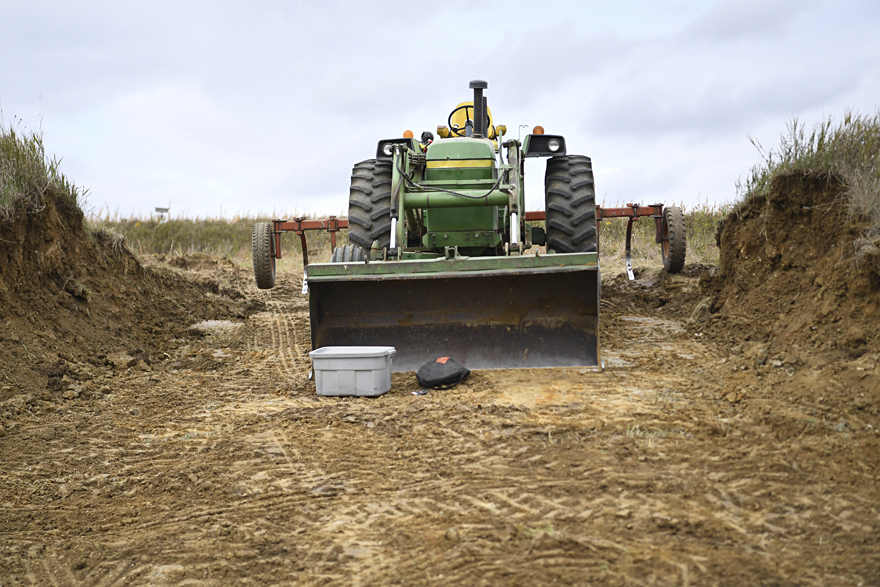
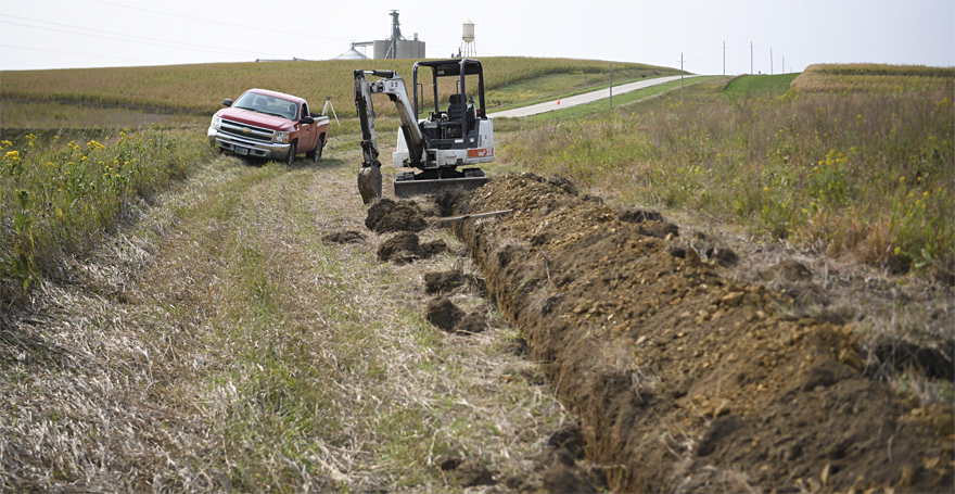
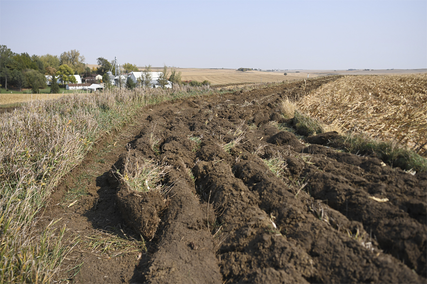
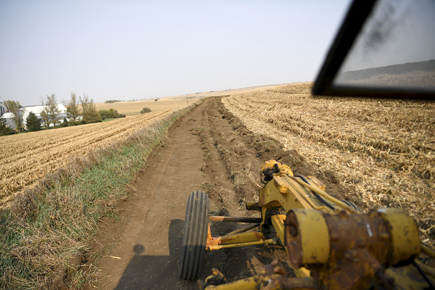
Fall of 2020 soil work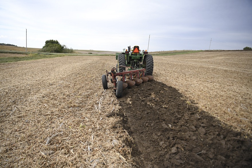
I first plowed the area in the bottom, including part of the waterway.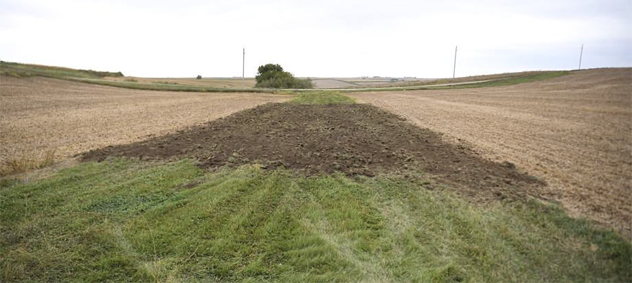
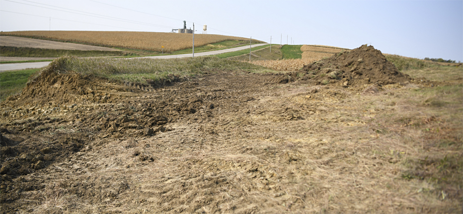
Most farmers have a commercial contractor just bulldoze out the waterway and feather the soil out next to the waterway...the last place topsoil is needed.
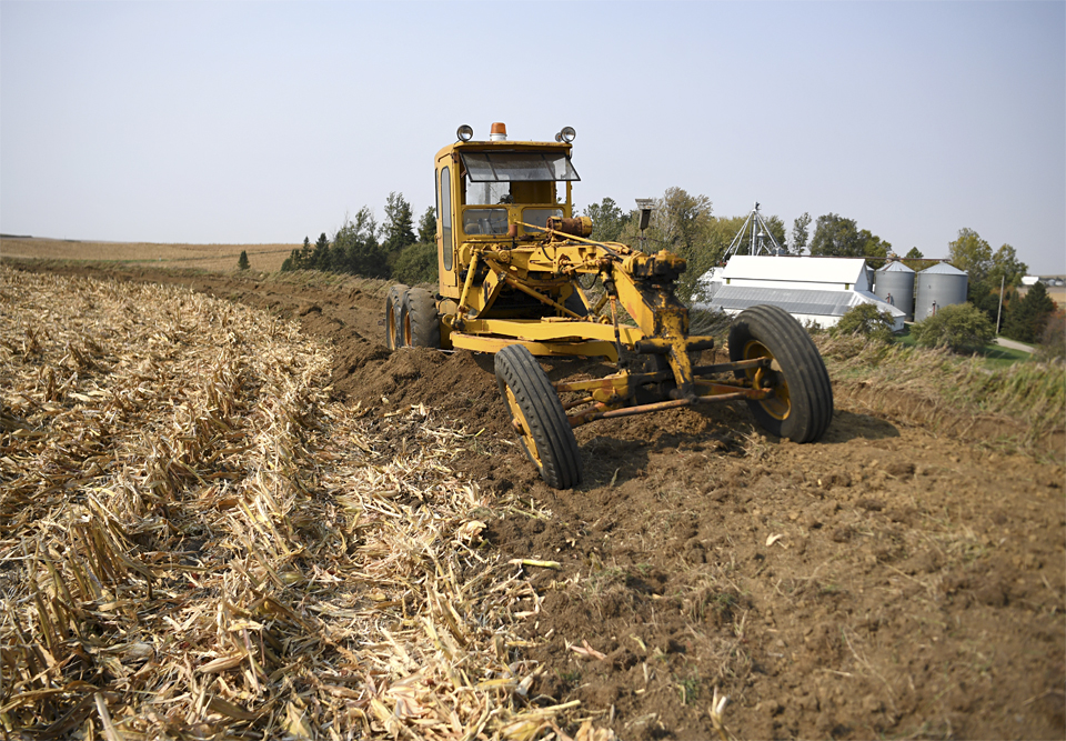
I haul soil in stages...rather than cover that whole sidehill and take the chance
we get big rains next year with bare soil - at least only this smaller area will wash, with the rest of the field above and below with no-till residue will hold and be stable.
Then next fall I'll haul more soil below this year's soil area.
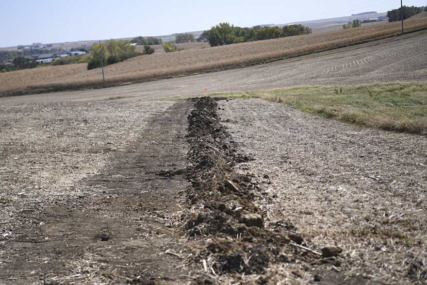
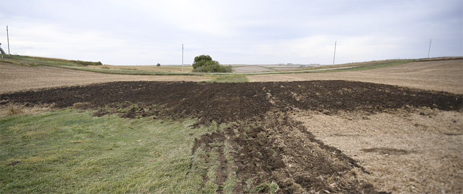
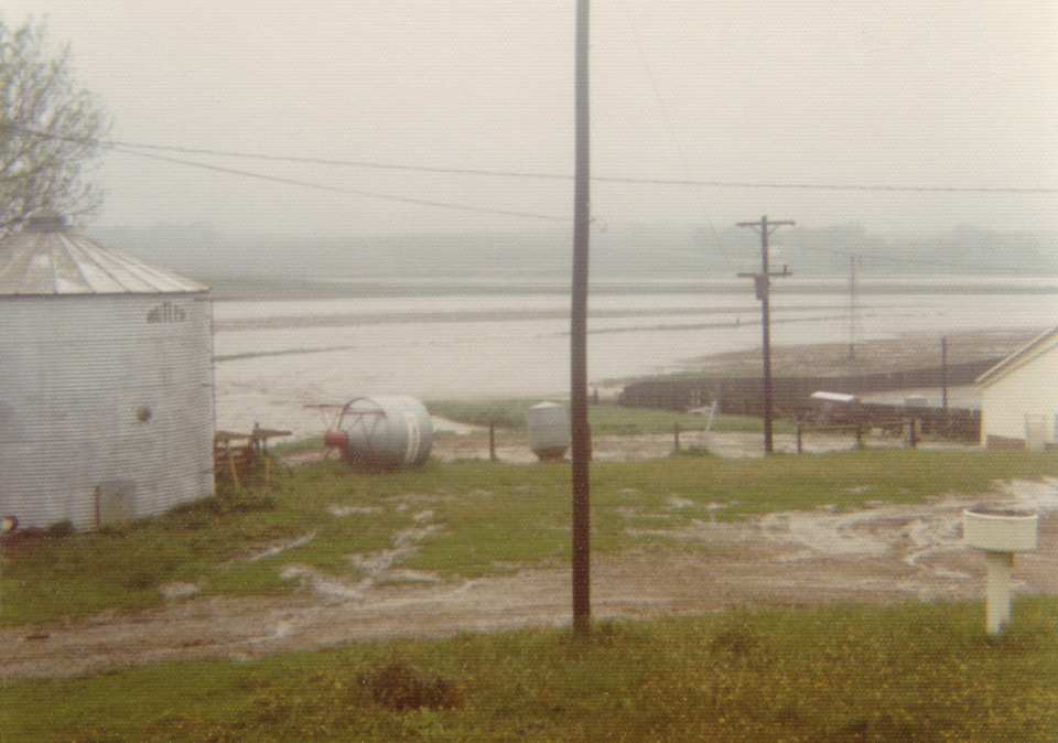
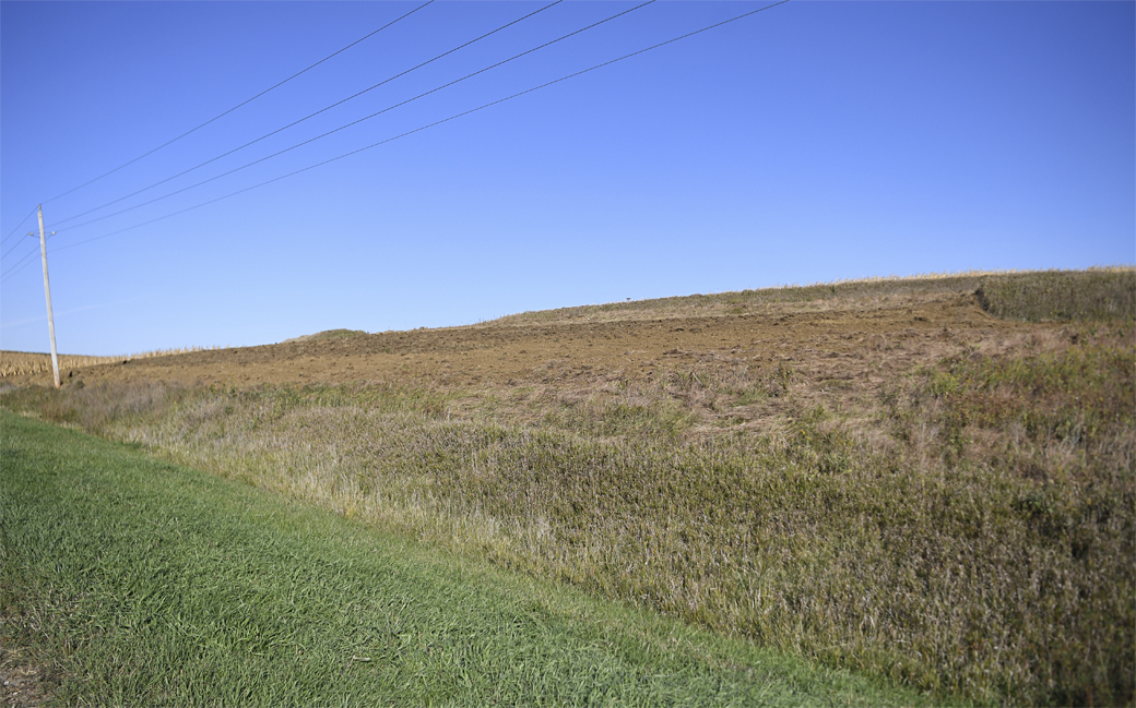
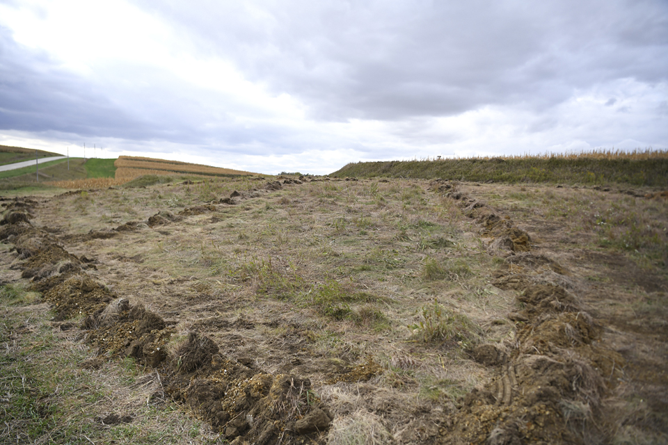
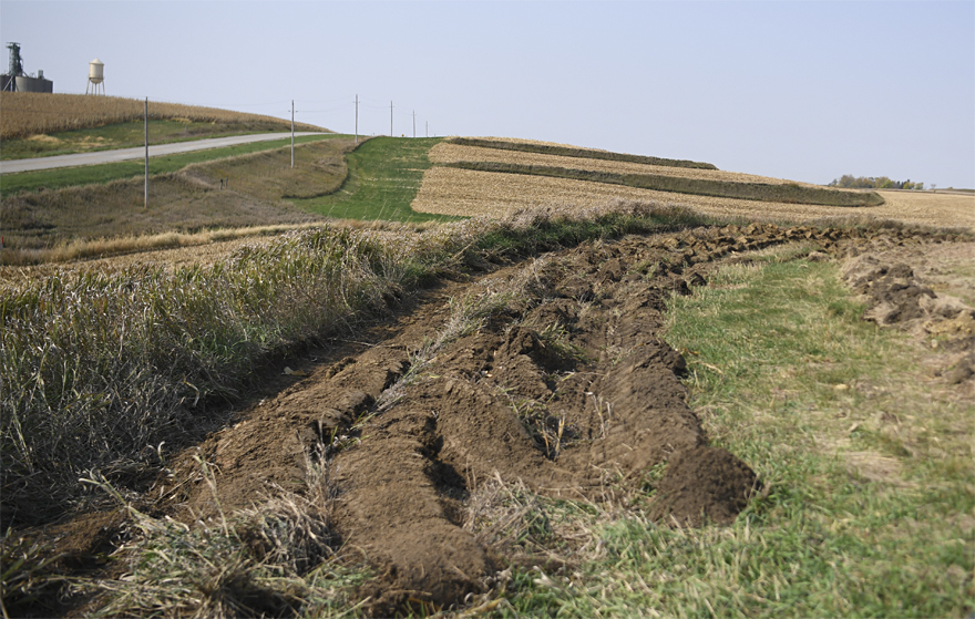
Looking to the bottom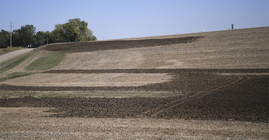
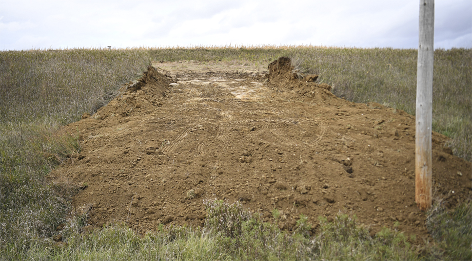
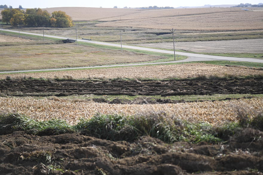
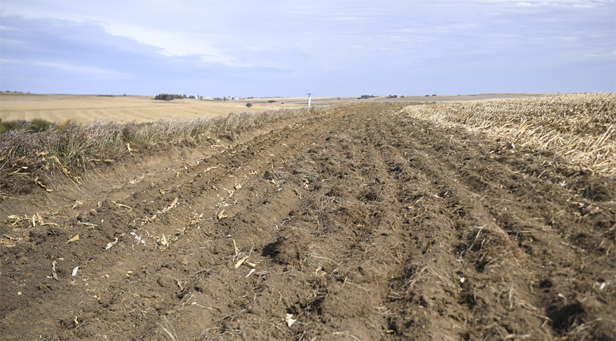
View of where I hauled the soil.
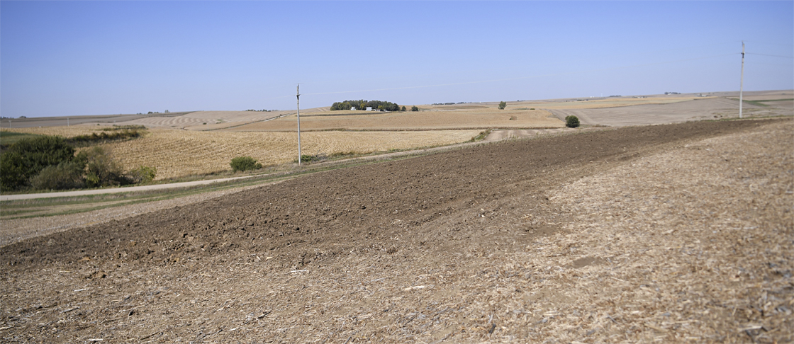
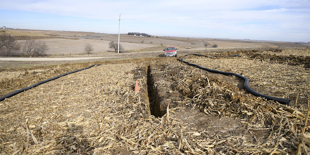
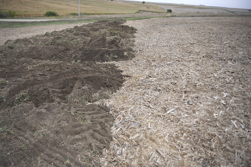
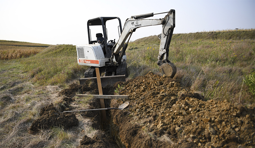
159 loads with the soil mover = 398 tons of soil on the initial layer over 2017 tiled sidehill.
This layer is about 1 feet of new topsoil.
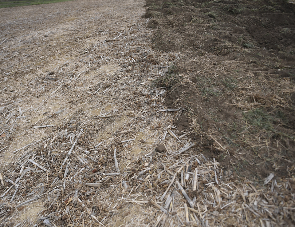
14 extra loads to shape end rows = 35 tons.
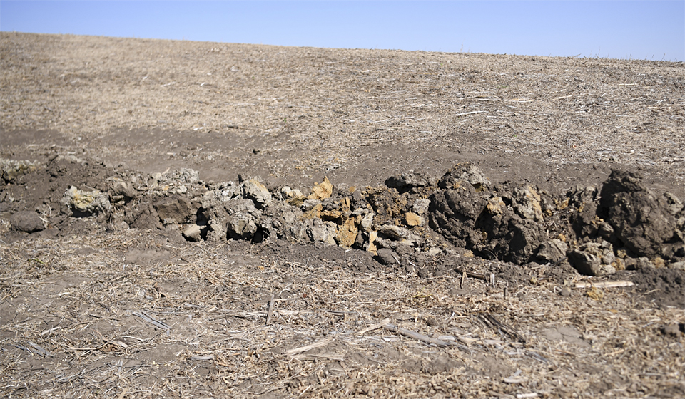
There was a deeper eroded area on the endrows so I added another layer which made it about 2 feet.
2 feet is how much topsoil has eroded off tilled sidehills like this on basically every farm in this area.
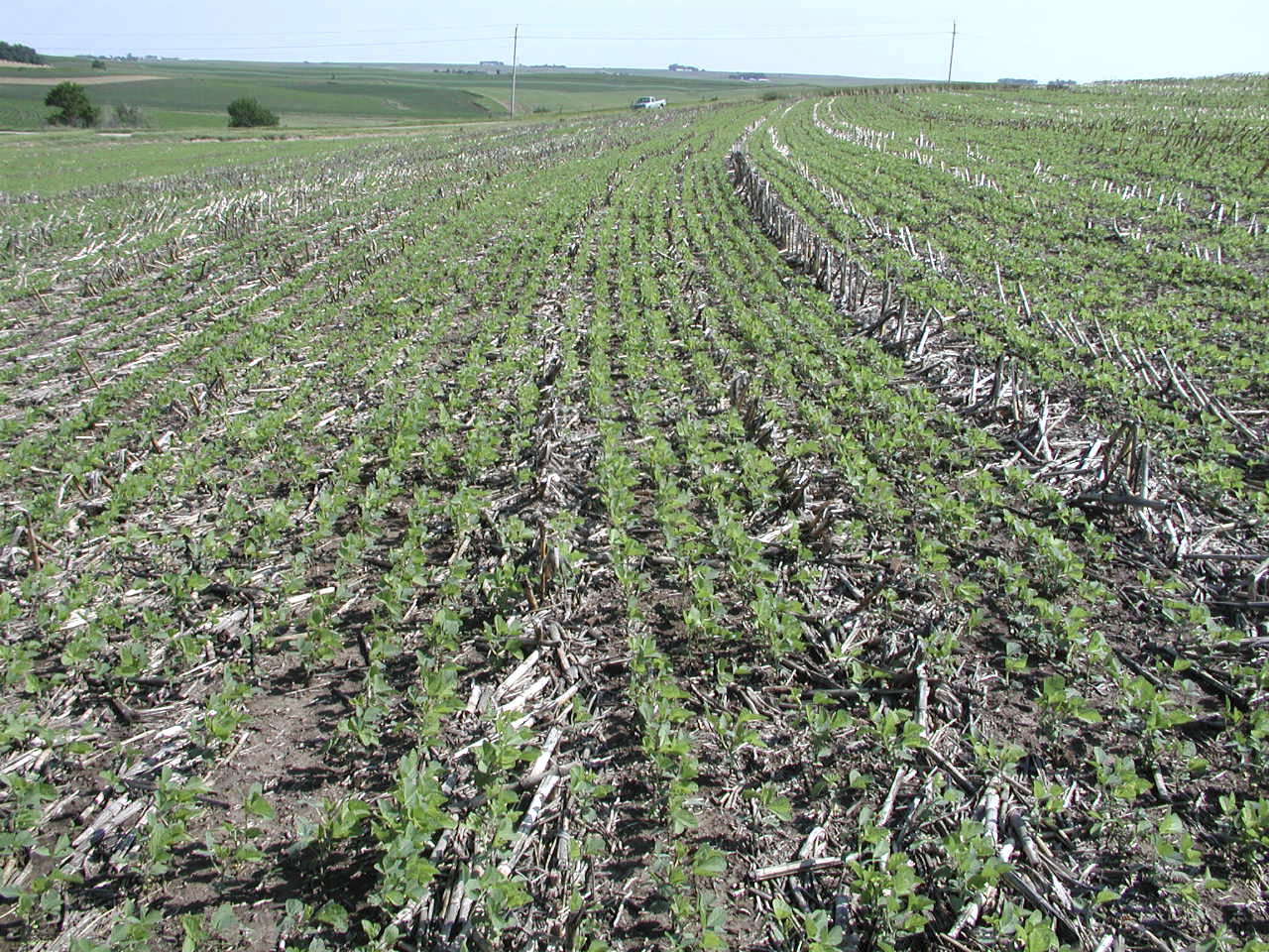
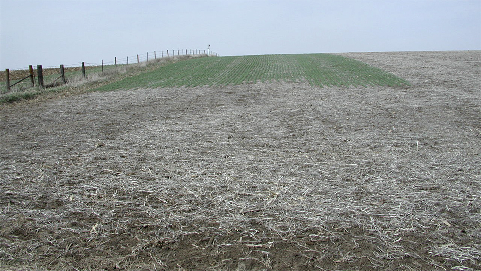
I started experimenting with fall rye long before anyone thought of using it as a cover crop...sometime
back in the early 1990s, I would plant it on the steeper areas of endrows and on sidehills that I hauled soil on. Then the next spring I would kill it off with
roundup with my spot sprayer before the crop was planted. Sometimes I would leave it on those steep areas of endrows that were the
previous year's soybean stubble that was planted into corn and let it go fallow for that year.
We generally didn't have erosion and runoff problems with the previous year's corn stalk residue planted into soybeans, so I didn't use rye in those cases.
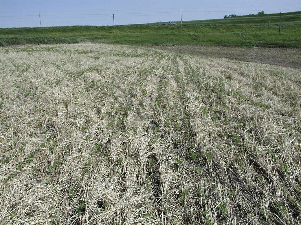
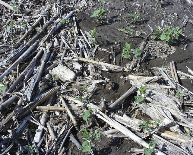
Example of rye left on one of the steeper endrows of soybean stubble going into corn.
April 14 - Rye on endrows that was eventually killed off and planted into corn.
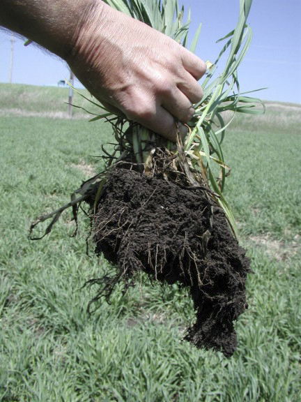
April 23 - Root system of a rye plant.
While the yield improvement will take many years to pay for itself, improving these areas of a field/farm will increase the value of the property when it is sold someday.
But the biggest reason for tiling and improving the soil structure in these areas is to stop most of the erosion.
The big reason why no-till slows down and prevents
erosion is rain water infiltrates the much better soil structure created by the process over tillage which destroys soil structure, BUT when there is a wet sidehill and sidehill seeps
even when it isn't raining, when those heavy rain events come there is no place for the rain to go but run down the surface of the sidehill...thus tiling and improving the soil surface
will allow the rain water to soak in, whereas before it had to run down the slope.
If we knew about no-till and tiling the hills back when terraces were first being built, there would be a lot less terraces today.
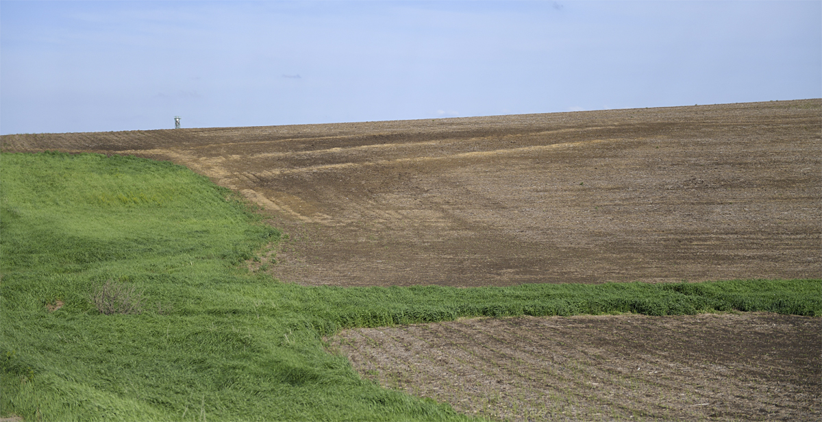
This farm above has lots of C, D, and even one area of E slope but has NO terraces.
After decades of no-till we have
less to no erosion compared to other farms with terraces and their land is tilled.
This brings me to part 2 of this feature...TERRACES on a different farm.
In the spring of 1974 we planted oats on our "Big Hill" with plans to build terraces on this field that summer...
Little did we know about a major flooding season coming.
We disked the field and sewed the oats which was starting to emerge when we got a rainfall event of epic proportions...we got 3 inches in 15
minutes along with hail on our place.
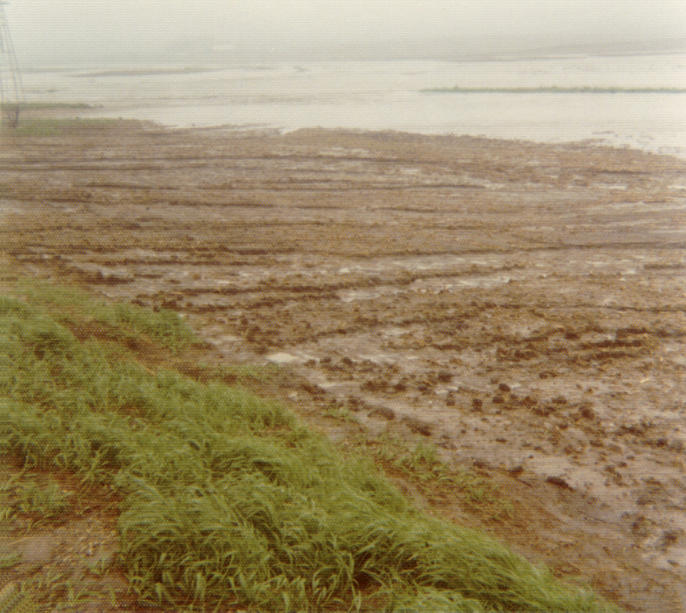
Below is the result of that event.
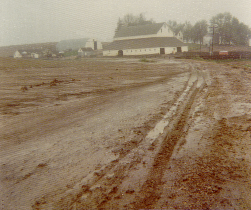
BUT, this wasn't the end of the "Noah" event...We had a total of 5 floods in two weeks with a total of 18 inches of rain.
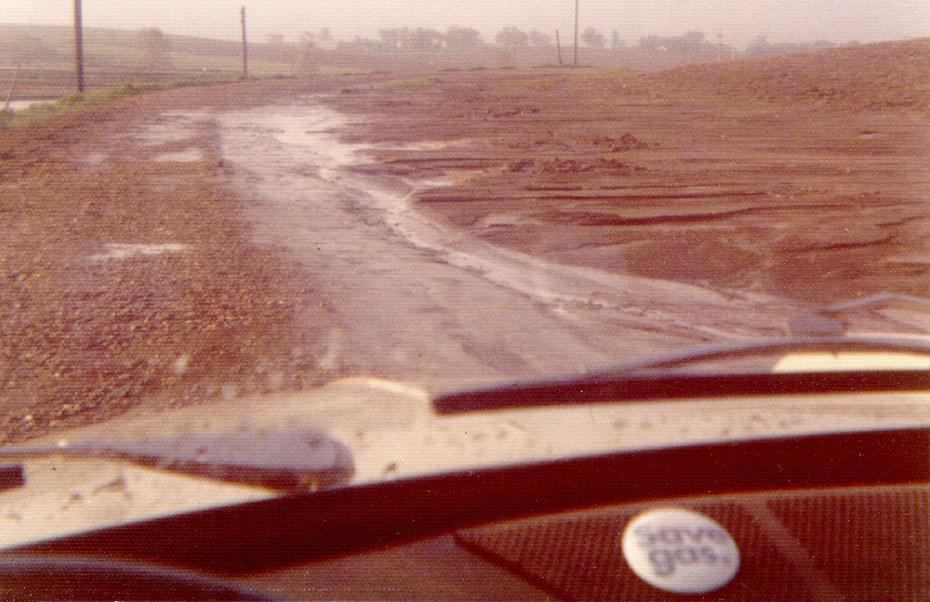
Note the "Save Gas" button on my Volkswagon dashboard...this was during the 1974 Arab Oil Embargo of 1973-74.
The problem is that only a few years later, eight-row planters were built, so we decided to just grass out the top sides, realizing we would lose some crop production acres.
The terraces are now difficult to impossible to get around on the ends.
In our case on this hill an offset terrace had to be built, which makes it impossible to farm with the present-day huge planters, sprayers, and combines.
So I decided to shorten up one terrace so there would be 80+ feet for endrows and more room available to get around the offset terrace.
Finished shortening the terrace.
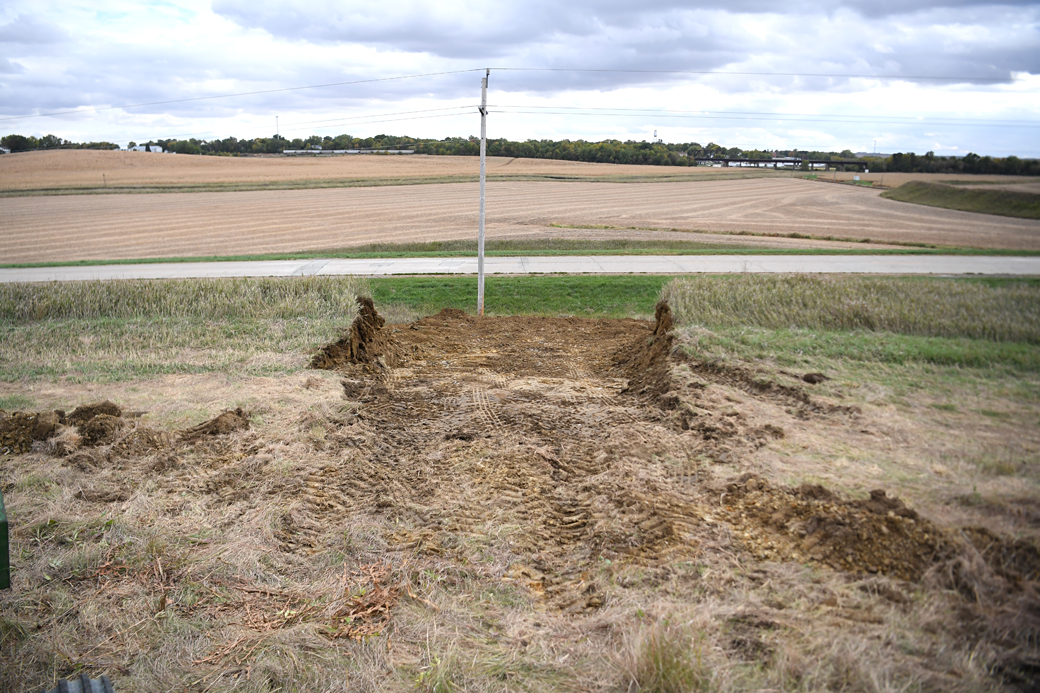
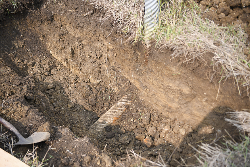
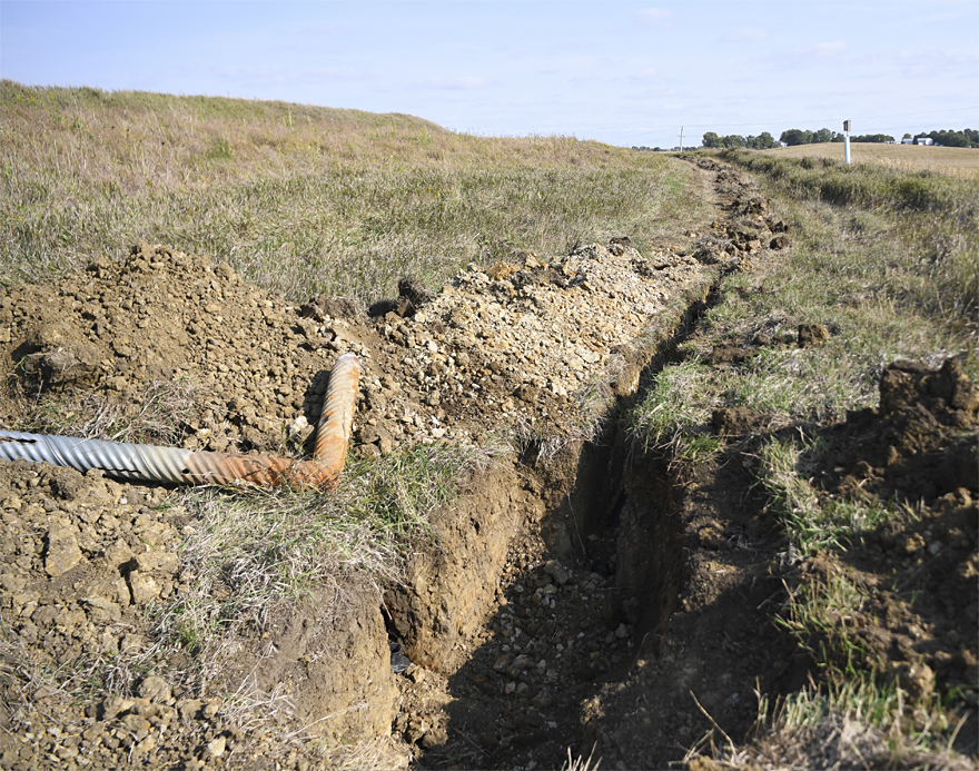
Before I shortened this terrace, I trenched in tile in the area above it that had been in CRP for 10 years and had been an area of sidehill seeps and wet spots.
Subsoil had been previously borrowed from this sidehill back in the 1960s when the county wanted to reshape the road and fill in the valley between the 2 large hills in that road.
The topsoil was pushed back on our field and then subsoil removed and then they pushed back the topsoil.
The problem is, when you disturb soil structure like this, it really ruins it.
After that we had a lot of wet spots in that sidehill and when we put in the terraces, this only compounded the subsoil compaction and disturbance of the topsoil.
Because of no-till, we don't get the run-off like we did when we tilled, so the inlets are no longer needed.
During the 1993 Midwest flood, these terraces were NOT topped by the 10+ inches of rain during that event we had.
The reason I know this is because the "shoreline" of residue in our
terraces were NOT at the top of the terrace. ALSO, most other terraces in our area on tilled farms had major blowouts in their terraces...we had none.
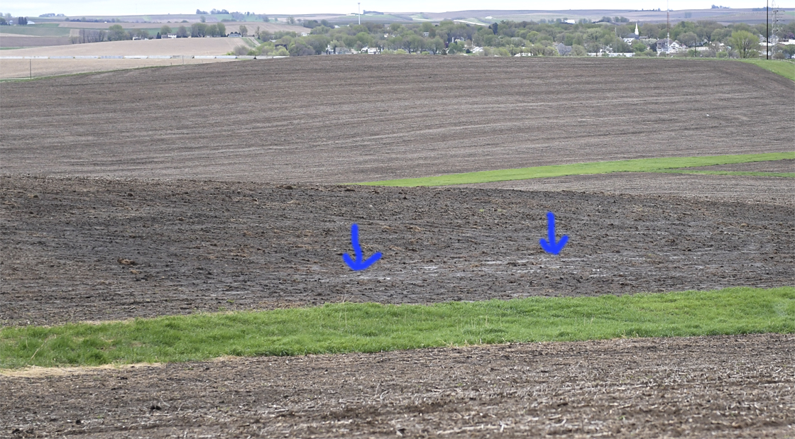
About 5 years ago I had experimented with eliminating a tile inlet on another terrace but just capped the end and filled in the hole.
The next spring after snow melt and heavy rain, water was standing on the surface of the ground where the inlet once stood.
So I dug down and connected tile to the pipe that goes under that terrace.
I ran a tile line both ways from that tube for about 30 feet and after that, never had standing water in that low spot where the inlet once stood.
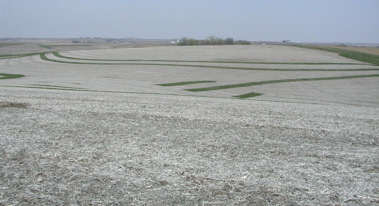
This map shows the tile lines I added to this sidehill.
This map shows the tile plus, the area reclaimed on the topsides of the terraces which can now be farmed.
We gained about 1.75 acres by doing this.
Another thing I learned over the years tiling in the sidehills is that you need to go closer with the lines, than as with tile in the good bottom ground land.
In 2013, I added 2 lines in a sidehill. Several years later, even after hauling good bottom ground soil over this area, I noticed after rain events that water was standing on top of the ground below the 2 lines I had trenched in back in 2013.
So this fall I added one more lateral and after overlaying this line on the aerial map, I can see that the wettest area is where this new line is now.
I also noticed that gray clay and orange clay was in this area where the water was standing.
It will be interesting in the next few years to see how this extra line works...